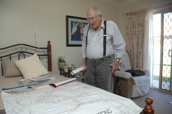
Once a dynamic community built on the face of a gold pit and then flooded to create a dam, Lake Burrendong has been mapped for the first time by a Dubbo man who lived in a house that went underwater.
Subscribe now for unlimited access.
$0/
(min cost $0)
or signup to continue reading
Bill Inwood, who grew up in Burrendong, has made a map of the old community with the help of others who remember the town, showing the areas people lived, worked and went to school.
“There were about eight or nine schools that went underwater,” Mr Inwood said.
“When it was first settled there was a school on each side of a creek, because the creek flooded quite often so those children on one side got cut off and the children on the other side got cut off so they built two small schools.”
The plan to flood the community in order to irrigate the area was discussed for many years before it happened in the 60s.
“A gentleman by the name of Billy Hughes told my grandfather and my father when I was a boy ... ‘look out there ... that will be the Burrendong Dam’. That was in 1922,” Mr Inwood said.
There’s only about six people still alive who knew the different sections of the community, Mr Inwood said.
“We were fishing out at the dam one afternoon and some people came along and said, ‘we were told that you would know where our grandparents lived’.
“We said, ‘what was their name’, they said so-and-so and we said, ‘we’ll have to walk way up here to show you,”
“And we were sitting down talking and the rangers at the dam came down and said, ‘listen Bill, get a map and do it out because we have not got a clue where anyone lived’. I said, ‘no way, too big a job for this old fella’.”
He said the mapping project took several months to complete.
Mr Inwood will unveil the map at Stuart Town on Easter Saturday.

